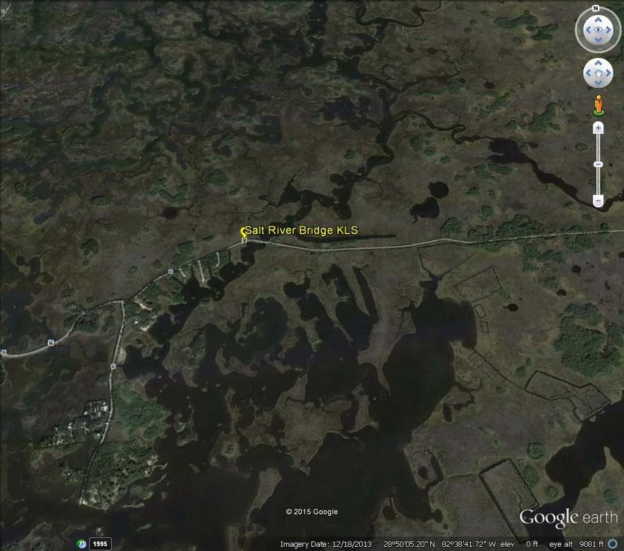
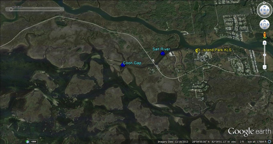
Salt River Bridge (W. Ozello Trail)
Start at the Shell gas station on the corner of Hwy. 19 & W. Ozello Trail
ADDRESS: 400 S. Suncoast Blvd / Crystal River / FL / 34429
Drive 5 miles west on W. Ozello Trail (Crystal River)
Cross over the first small bridge
There is a small clearing to the left right after the bridge
Fishing Salt River
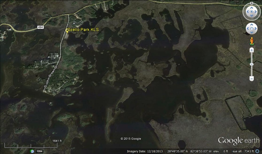
Ozello Park
2045 S. John Brown Drive
Crystal River, FL 34429
Fishing both Greenleaf Bay and/or St. Martin's River
There is also a small fishing pier at the end of John Brown Drive.
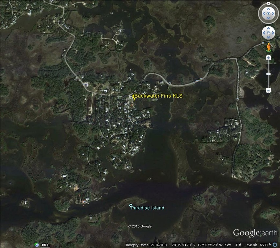
Backwater Fins Restaurant
13982 W. Ozello Trail / Crystal River / FL / 34429
The launch site is at the cleared lot next to the restaurant
Fishing St. Martin's River to the South or Ozello Backcountry to the North
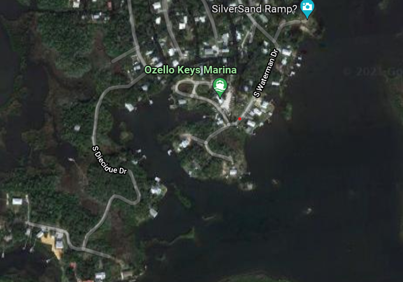
Ozello Keys Marina
2355 S. Ripple Path / Crystal River / 34429
http://www.ozellokeysmarina.com/
352-228-8095
Fishing St. Martin's River and surrounding areas
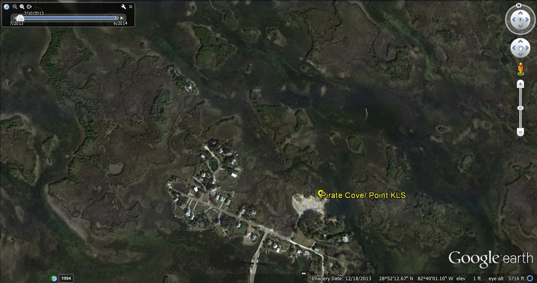
Ozello Community Park
410 N. Pirate Point
Crystal River, Florida 34429
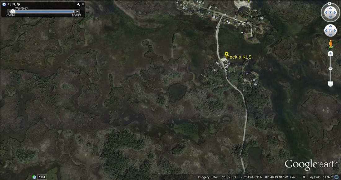
Peck's Old Port Cove Restaurant
139 N. Ozello Trail
Crystal River, Florida 34429
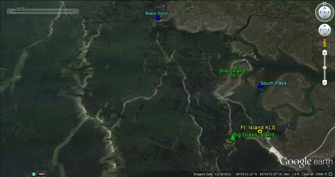
Ft. Island
16000 W. Ft. Island Trail
Crystal River, Florida 34429
There is also a fishing pier at this location
Ft. Island Trail Park
12073 W. Ft. Island Trail
Crystal River, Florida 34429
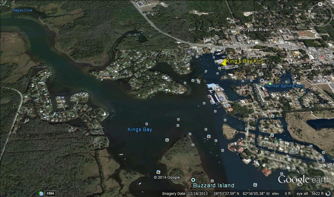
King's Bay Park
268 NW 3rd Street
Crystal River, Florida
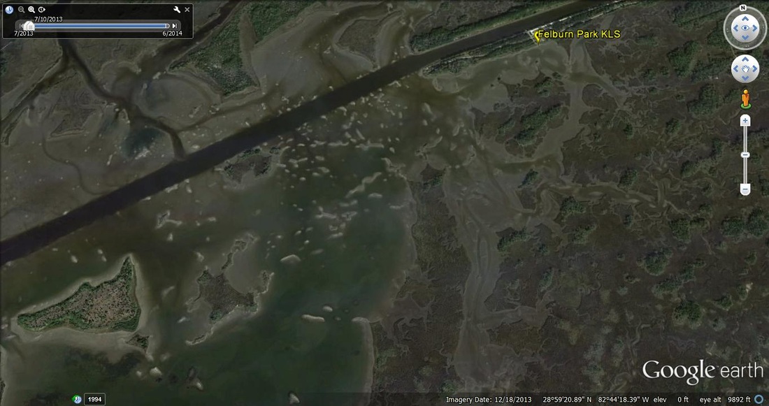
Felburn Park
Difficult kayak launch site to find
Begin at 10247 N. Suncoast Blvd.
Crystal River, Florida 34428
Locate the FWC Building
From there, go under the bridge (where there is overflow boat trailer parking)
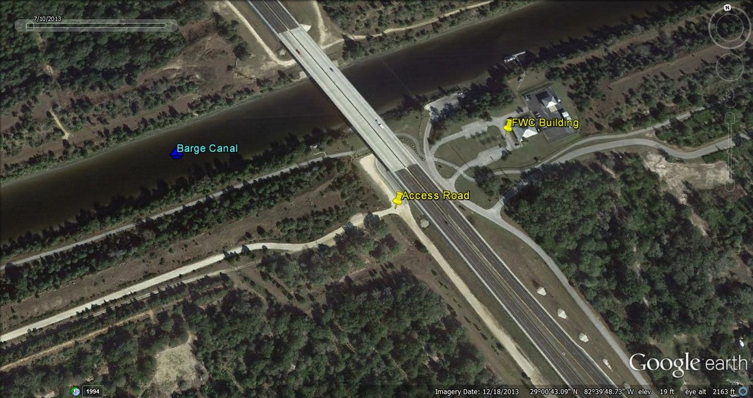
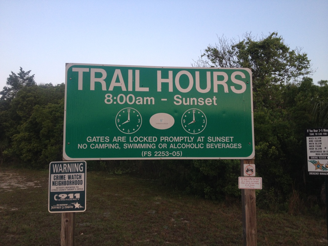
When you find yourself on west side of the overflow parking, you'll see a gated access road with this sign:
Follow the unpaved access road for approximately 4 miles (west)
At the end of the road you'll find two fishing pavilions, one on the north side of the road and one on the south
The kayak launch site is next to the south side fishing pavilion
Good Luck !!
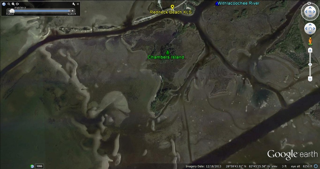
Redneck Beach
This is an unmarked / local site not on any formal map
Locate Hook Line & Sinker Bait & Tackle Shop @
144 W. Highway 40, Inglis, Florida
Follow State Road (Hwy) 40 west in Yankeetown for a little over 6 miles (almost to the very end)
On the left hand side, about 100 yards before the boat ramp, is a small 'beach' where a kayak can easily be launched.
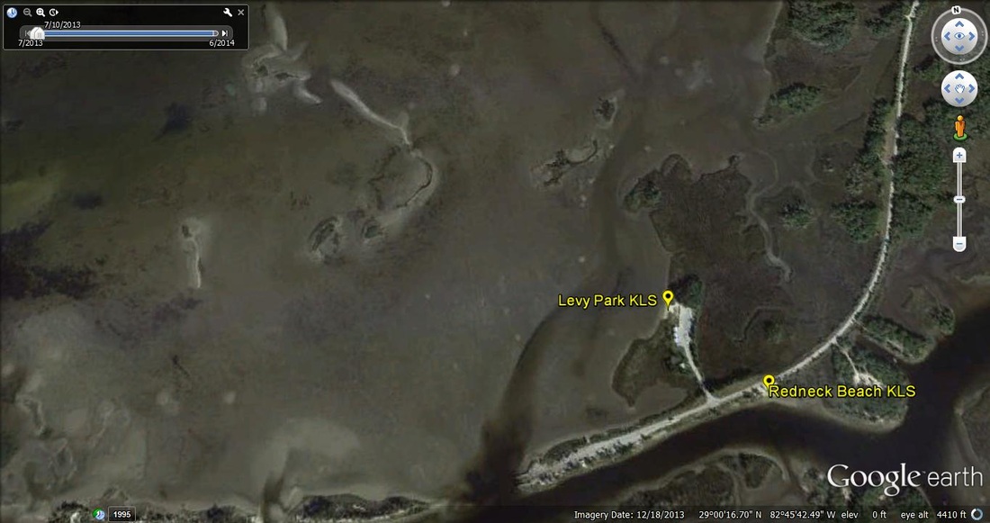
Levy Park
This is an unmarked / local site not on any formal map
Locate Hook Line & Sinker Bait & Tackle Shop @
144 W. Highway 40, Inglis, Florida
Follow State Road (Hwy) 40 west in Yankeetown for a little over 6 miles (almost to the very end)
Past Redneck Beach on the left
Then on the right is a gated park entrance with plenty of parking and a great site for kayak launch
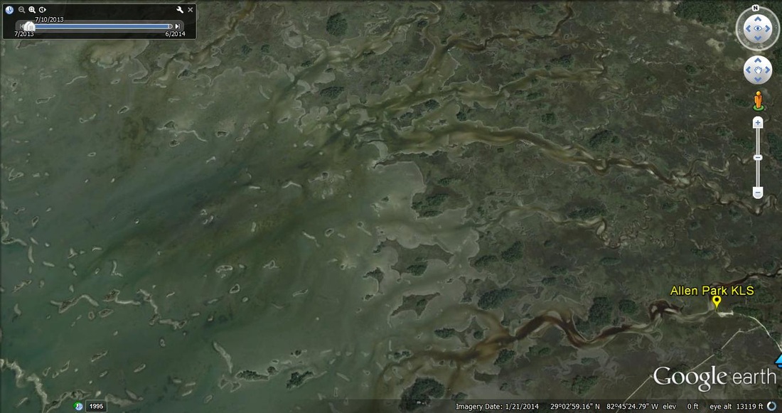
Allen Park
This is an unmarked / local site not on any formal map
Locate Hook Line & Sinker Bait & Tackle Shop @
144 W. Highway 40, Inglis, Florida
Follow State Road (Hwy) 40 west in Yankeetown until you reach the intersection of SE 193rd Place (Stop Sign)
Take a right on SE 193rd Place and then an immediate left onto SE Allen Park Road (unpaved)
Follow to the end
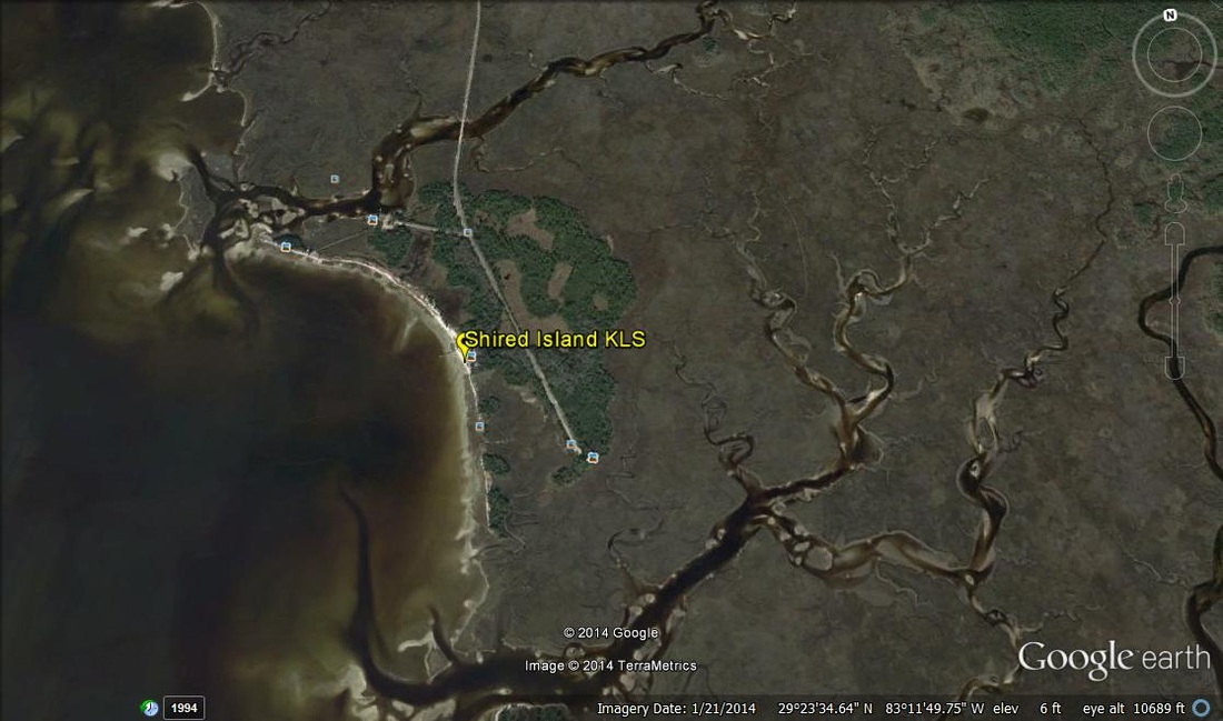
Shired Island Park, Old Town, Florida
Shired Island Park
Old Town, Florida 32680
From Hwy 19 / 98 in Cross City, Florida
West on Hwy 351
Left on Hwy 357 (7.5 miles)
Right at Campground Sign